DJI Mavic 3E and 3T major firmware update brings a host of new features
DJI releases major firmware update for its entry level enterprise drones
The update brings a wealth of new functionality to the portable commercial drone series, including terrain follow features, the ability to customize camera angles for mapping tasks, and much more.
The Mavic 3 Enterprise drone series comes in two versions: the Mavic 3E and the Mavic 3T. The Mavic 3E is primarily designed for mapping and surveying functions, while the Mavic 3T is ideal for firefighting, search and rescue, inspections, and night missions thanks to its thermal sensor.
The new firmware update, available for download now, brings the aircraft firmware of both models up to version v06.01.06.06, while the remote controller firmware can now be updated to v02.00.04.07. The DJI Pilot 2 App and DJI Assistant 2 can also be updated to v6.1.1.1 and v2.1.7, respectively.
One of the most exciting new features in the firmware update is the Terrain Follow feature for flight tasks. Both Smart Oblique and Linear tasks now support both Real-Time Follow and DSM Follow, while Oblique tasks only support DSM Follow. The update also includes a POI function, allowing the drone to circle and fly around a PinPoint to obtain omnidirectional information about the target.
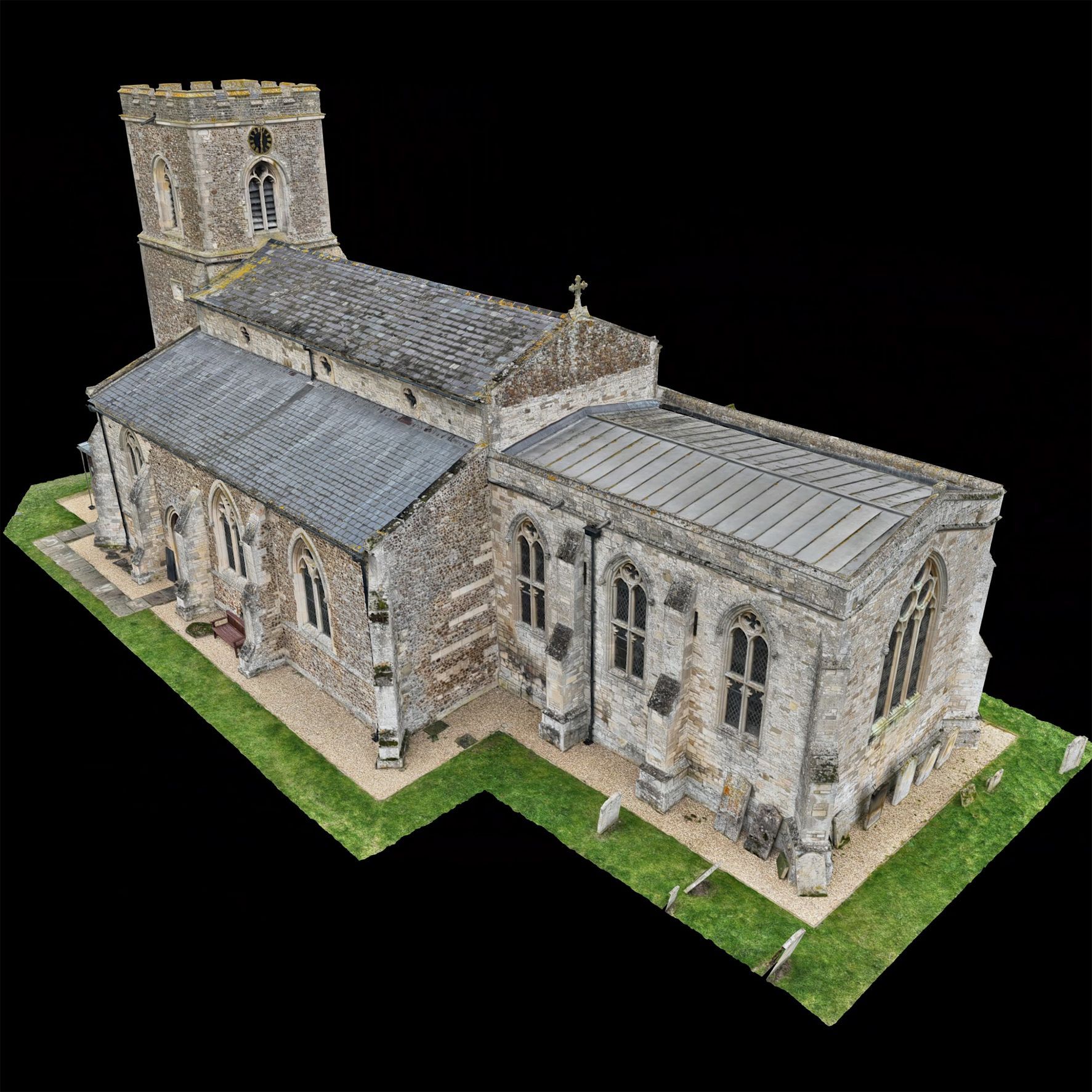
Another standout feature is the ability to customize the camera angle for mapping tasks. When planning a flight route, the aircraft orientation and gimbal pitch angle can be set for the route. This is highly convenient for inspections of specific scenarios, such as solar panels.
Other new features include the ability to execute flight tasks during flight for fast and efficient execution of flight tasks at the current location, the ability to set Safe Takeoff Altitude for flight tasks to improve flight safety, and the ability to create mapping or oblique tasks by selecting an area in the map view.
The Mavic 3T also gains the ability to adjust infrared temperature measurement parameters, such as subject emissivity and temperature measurement distance.
To ensure a smooth update process, DJI recommends restarting the aircraft and remote controller after the update is complete. If the update fails, restart the aircraft, remote controller, and DJI Pilot 2 or DJI Assistant 2 (Enterprise Series), and retry. It's also important to ensure that the firmware of the aircraft and the remote controller, and DJI Pilot 2 all are on their latest versions, otherwise usage may be affected.
- Added Terrain Follow for flight tasks: Smart Oblique and Linear tasks support both Real-Time Follow and DSM Follow. Oblique tasks only support DSM Follow.
- Added POI function: The aircraft can circle and fly around a PinPoint to obtain omnidirectional information of the target.
- Added ability to customise the camera angle for Mapping tasks: When planning a flight route, the aircraft orientation and gimbal pitch angle can be set for the route. Convenient for inspections of specific scenarios, such as solar panels, and certain agriculture/AEC flights.
- Added support for 8x digital zoom for RGB camera: This applies to the Mavic 3 Multispectral only.
- Added ability to execute flight tasks during flight for fast and efficient execution of flight tasks at the current location. Tap the flight route icon to create or select a flight task on the camera or map view of the DJI Pilot 2 app.
- Added ability to set Safe Takeoff Altitude for flight tasks to improve flight safety. This parameter setting is only valid when the aircraft executes a flight task before takeoff. If the aircraft starts a flight task during flight, the safe takeoff altitude will not take effect.
- Added ability to create Mapping or Oblique tasks by selecting an area in the map view. Convenient to generate a flight route after synchronising the mapping area planned on DJI FlightHub 2 to the DJI Pilot 2 app. This feature update is for the Mavic 3 Enterprise and Mavic 3 Thermal.
- Added ability to import MBTiles format maps downloaded from Maptiler. The map layer can be customised in the DJI Pilot 2 app.
- Added ability to export logs by different modules in the DJI Pilot 2 app.
- Added ability for Mavic 3T to adjust infrared temperature measurement parameters, such as subject emissivity and temperature measurement distance.
- Added encryption for Network Security Mode in the DJI Pilot 2 app. After setting a password, users can only change the Network Security Mode or adjust the function settings after entering the password.
- Optimised Real-Time Follow. The minimum altitude is adjusted from 80 m to 30 m. The altitude for Real-Time Follow is updated to 30-200 m.
- Optimised firmware update prompt in the DJI Pilot 2 app.