How to secure permissions for drone surveys in London
How to secure permissions for drone surveys in London
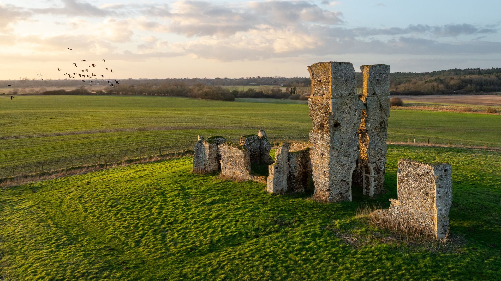
SkyTech Cambridge has been carrying out drone surveys and inspections across London and the whole of Greater London for the best part 5 years.
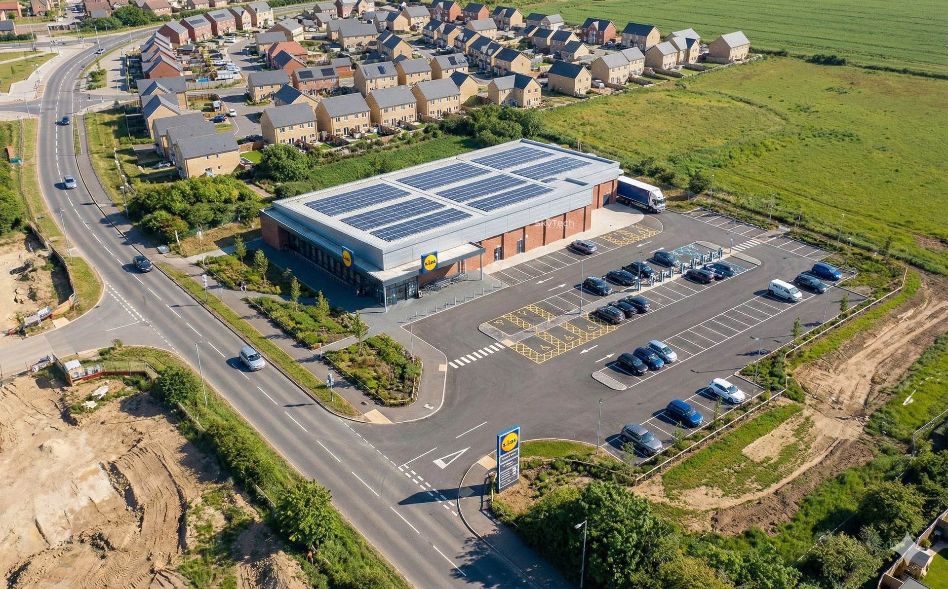
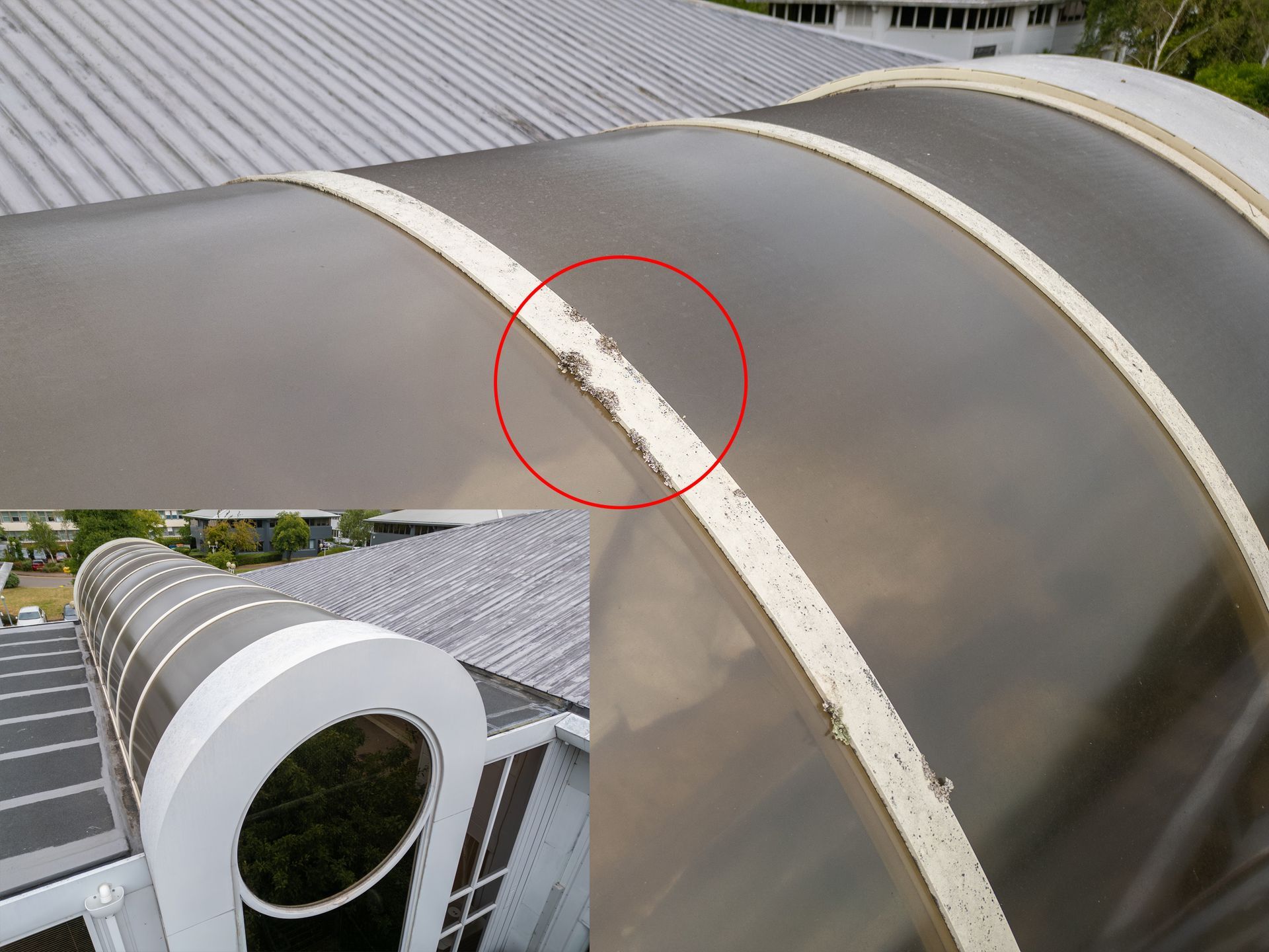
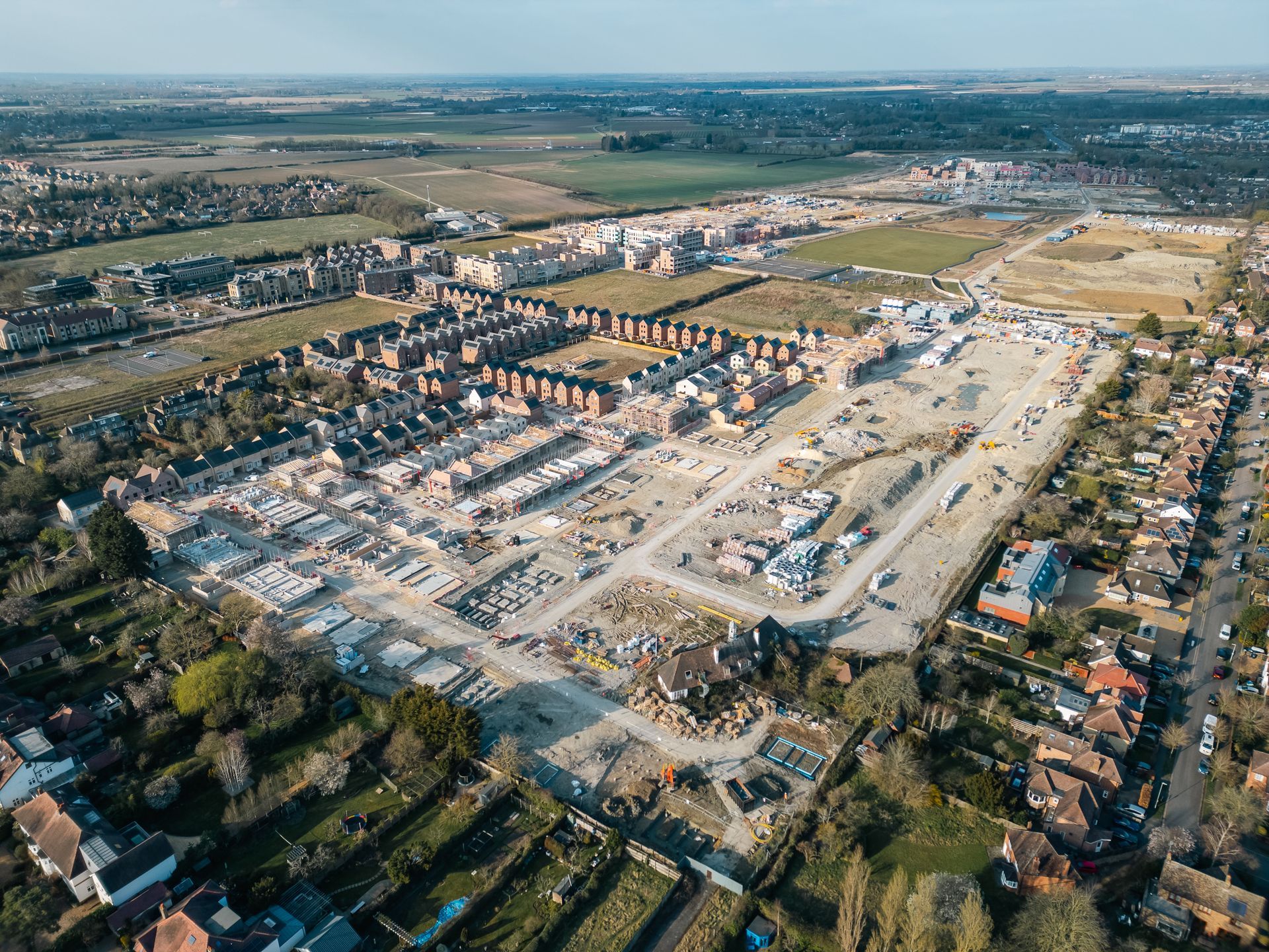
Our customer base is predominantly made up of commercial property agents, land owners and estate agents who require aerial perspectives that traditional cameras cannot provide. A common drone service we carry out across London are high level roof inspections to assess their condition. For example, a number of building surveyors commission us to capture high resolution imagery as part of their building dilapidation reports.
As certified thermographers, we also carry out a number of comprehensive thermal imaging surveys, including building heat loss and water ingress roof surveys.
Additionally, we supply professional aerial photography and videography to commercial agents assisting them with marketing commercial and industrial units.
In this blog, Chief Drone Pilot and SkyTech Founder, Marc, shares his top tips for capturing high resolution footage of land and buildings located in London.
Does using a drone save money?
For any roof, land or large building survey and inspection; drones offer great advantages in safety and speed of access while reducing traditional associated costs. Crucially, you negate the need for scaffolding, cherry pickers, or other ways of accessing buildings or construction sites. Eliminating the usual constraints associated with working at height is crucial for both worker safety and related costs.
Every London drone project is planned in detail beforehand to keep flight times to a minimum while ensuring that all relevant data is captured for post-flight analysis and reporting.
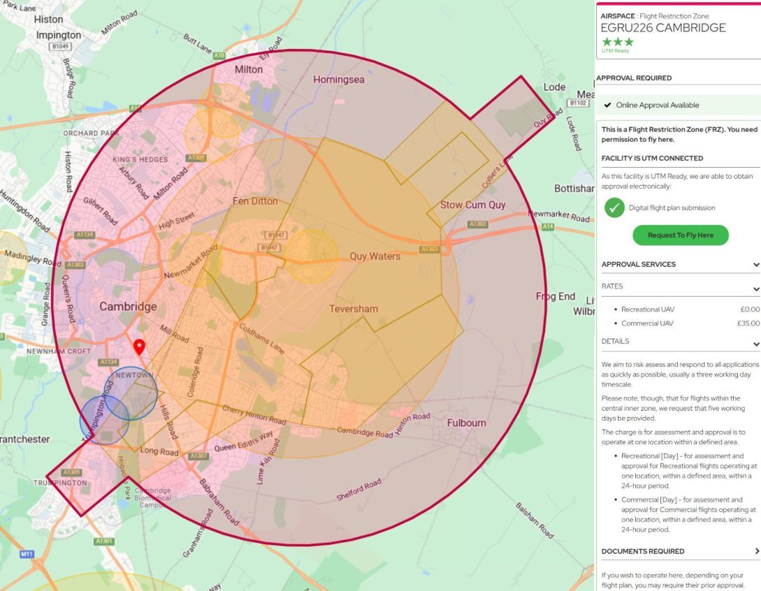
If we use the above project as an example, where I filmed in central London right next to Paddington Station for a client. I sought permission via the formerly named National Air Traffic Services (NATS) as we were operating in the sensitive EGR 157 no-fly zone. This requires a Non Standard Flight (NSF) flight authorisation which can be completed online at https://nsf.nats.aero
Once approved, you are provided with an NSF reference number which must then be supplied to Parliamentary and Diplomatic Protection (PaDP) before commencement of flight operations. This is a quick process, via a phone call, where you will be provided with a CAD number and subsequent permission to fly.
Other NSF zones across the city include Heathrow Airport, London City Airport, R156 Windsor Castle, London Heliport Battersea and R158 and R159. Fortunately, they can all be applied for using the same NSF system.
There are some areas of London that can be flown without any further permissions. A useful tool to check flight restrictions around the UK can be found at:
www.dronesafetymap.com
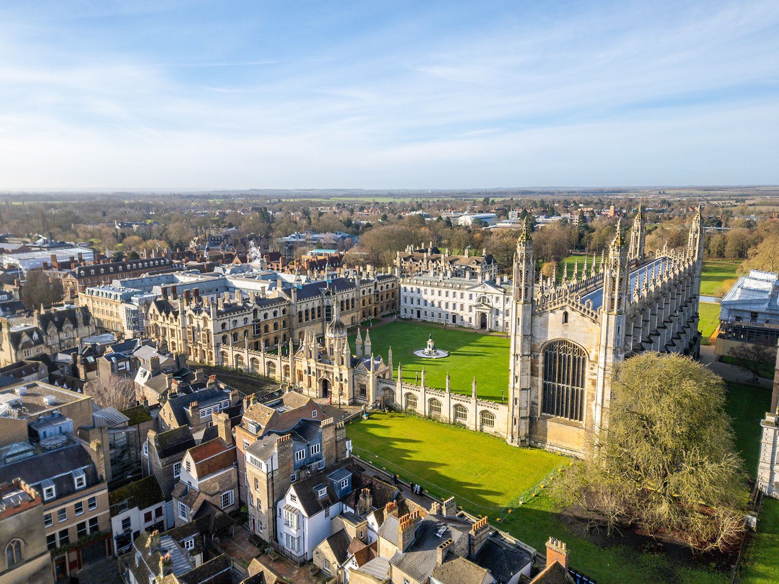
By its very nature, London is a highly urbanised area, which can make identifying locations for safe take-off and landings challenging. It also presents additional challenges for maintaining line of sight with such a large concentration of tall buildings and other structures.
So all in all; a few hoops to jump through but it's pretty straightforward once you know the process.
How accurate is a survey performed by drone?
We have developed a precise methodology over the years to ensure that we safely and reliably capture every aspect of the target building. We also use our experience in construction to identify visual defects or anomalies while flying. These areas can then be the focus of more targeted imagery. Captured media contains GPS metadata ensuring that everything can be geolocated.
How far is SkyTech Cambridge from London?
SkyTech drone pilots can access Central London in less than 2 hours and depending on the project requirement, survey footage or drone assets can be supplied by close of the working day.
If you’re looking for a drone survey or inspection in London, please
contact our team today.