Anticipation Builds for DJI Mavic 4 Pro and Enterprise Range: What It Could Mean for Drone Services
Excitement Grows for DJI Mavic 4 Pro: A Potential Game-Changer for Professional Drone Operations
The drone community is abuzz with speculation as new details about DJI's highly anticipated Mavic 4 Pro have emerged, thanks to recent FCC filings and leaks from reliable sources. With the release seemingly just around the corner, the question on every professional drone operator's mind is: what will this new range bring to the table, and how might it revolutionise our workflows?
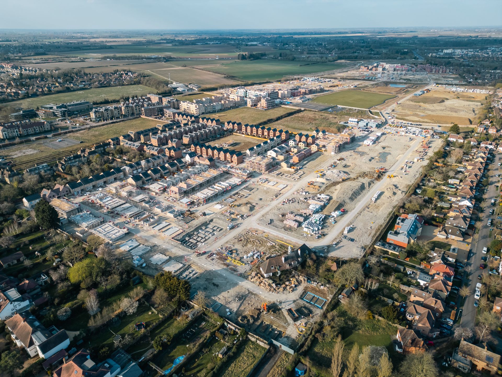
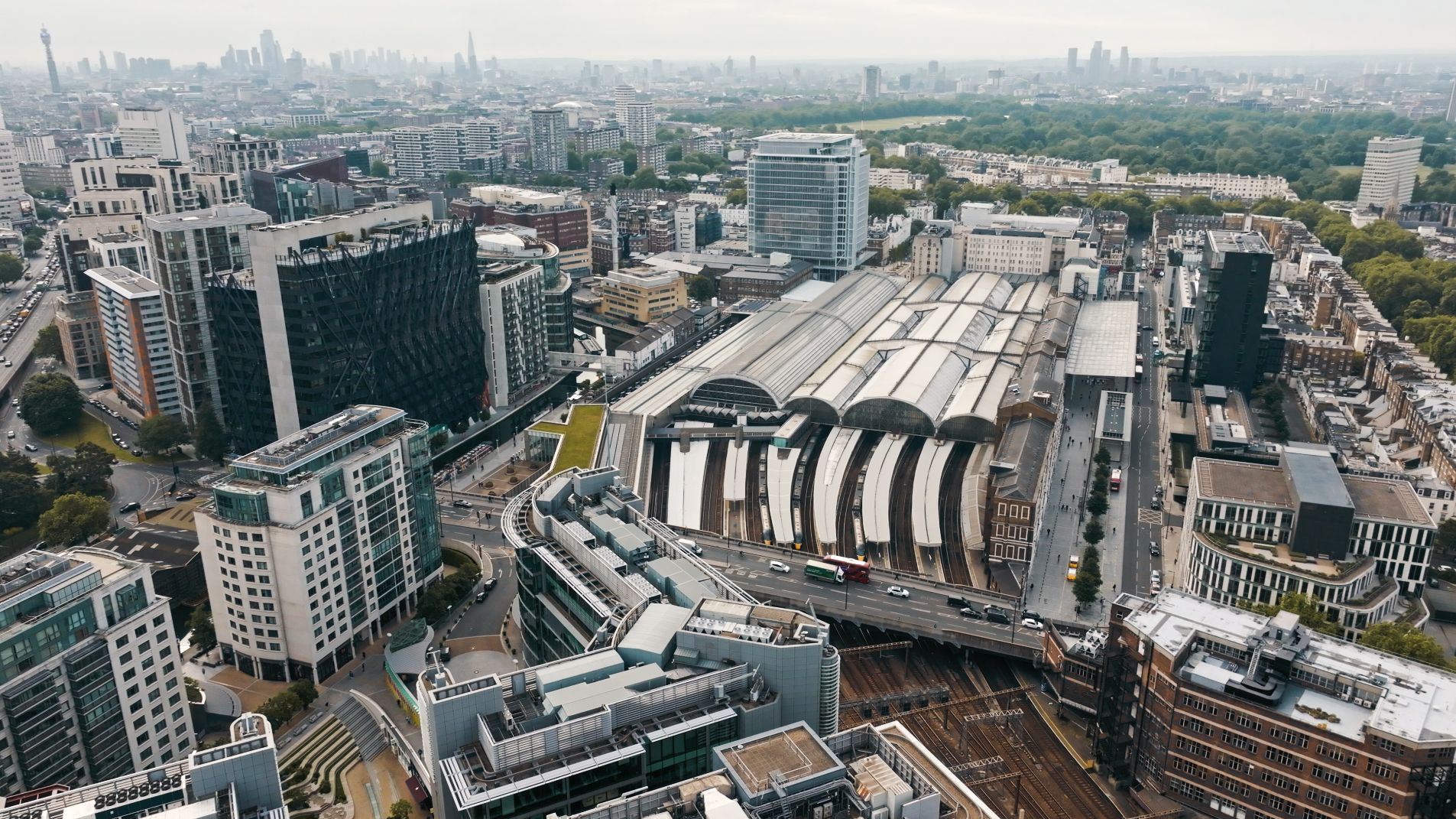
At Skytech Cambridge, we already utilise cutting-edge technology like the Mavic 3 Cine, Mavic 3 Enterprise RTK, and Mavic 3 Thermal for tasks ranging from high-level building inspections to thermal imaging and mapping. The potential launch of the Mavic 4 range, including an enterprise counterpart, has us excited about the possibility of further improving our offerings to clients across the UK and beyond.
What do the leaks reveal?
According to details published on DroneDJ and DroneXL, the Mavic 4 Pro is set to push boundaries in camera performance and onboard technology. Speculated upgrades include:
- Improved Camera System: Rumours suggest a new Hasselblad sensor with the capability to capture 8K video and, in theory, 7680 × 4320 (33.2 megapixel) high-resolution stills. While 8K video might seem impressive on paper, it could be unnecessary for many practical applications. Instead, an enhancement of the existing micro 4/3" sensor—focusing on a higher native resolution and improved sensitivity—would likely be more impactful, offering sharper, more detailed footage and better low-light performance. Such advancements would significantly enhance tasks like drone filming and aerial photography, enabling us to deliver even greater value to our clients.
- LiDAR Integration: The potential inclusion of a LiDAR module is intriguing, though it is likely to be a short-range system similar to that seen on the DJI Air 3s. While it may not be particularly useful for mapping operations, its primary function would likely be to enhance navigation in low-light conditions. This would provide additional safety and improve positioning accuracy during operations, particularly in complex environments or built-up areas.
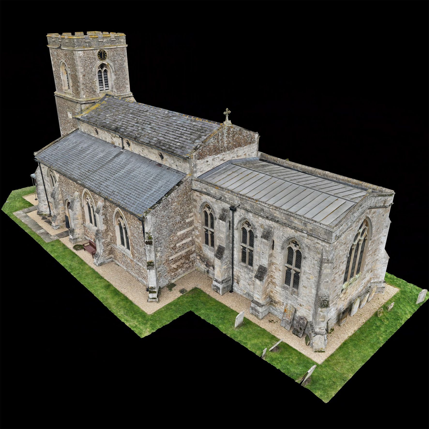
- Increased Camera Movement Range: A likely upgrade to the new camera system is an expanded range of motion, potentially allowing the lens to tilt completely upwards—something the Mavic 3 camera cannot achieve. This would be particularly valuable for inspecting structures such as bridges or overhangs, enabling more versatile and comprehensive data capture during operations.
- Extended Battery Life: The Mavic 4 Pro may feature a new battery design, offering longer flight times. This would significantly improve efficiency during drone traffic surveys or large-scale thermal imaging inspections, where extended airtime is critical.
- Enhanced Obstacle Avoidance: Leaks also suggest a more advanced obstacle sensing system, which could enhance safety during complex operations, such as high-level building inspections or filming in urban areas.
What about the Mavic 4 Enterprise Range?
If DJI follows its usual pattern, a Mavic 4 Enterprise series will likely accompany the Pro model. Building on the success of the Mavic 3 Enterprise, this range could include:
- RTK Precision: The Mavic 4 Enterprise is expected to build on its predecessor’s capabilities, with speculation suggesting that it may include a built-in RTK module instead of the external screw-in module used in the Mavic 3 Enterprise. This integration would streamline setup and operation, reduce potential points of failure, and enhance portability. For applications like high-precision surveying and mapping, this improvement could offer significant advantages, allowing operators to achieve centimetre-level accuracy with greater efficiency and convenience.
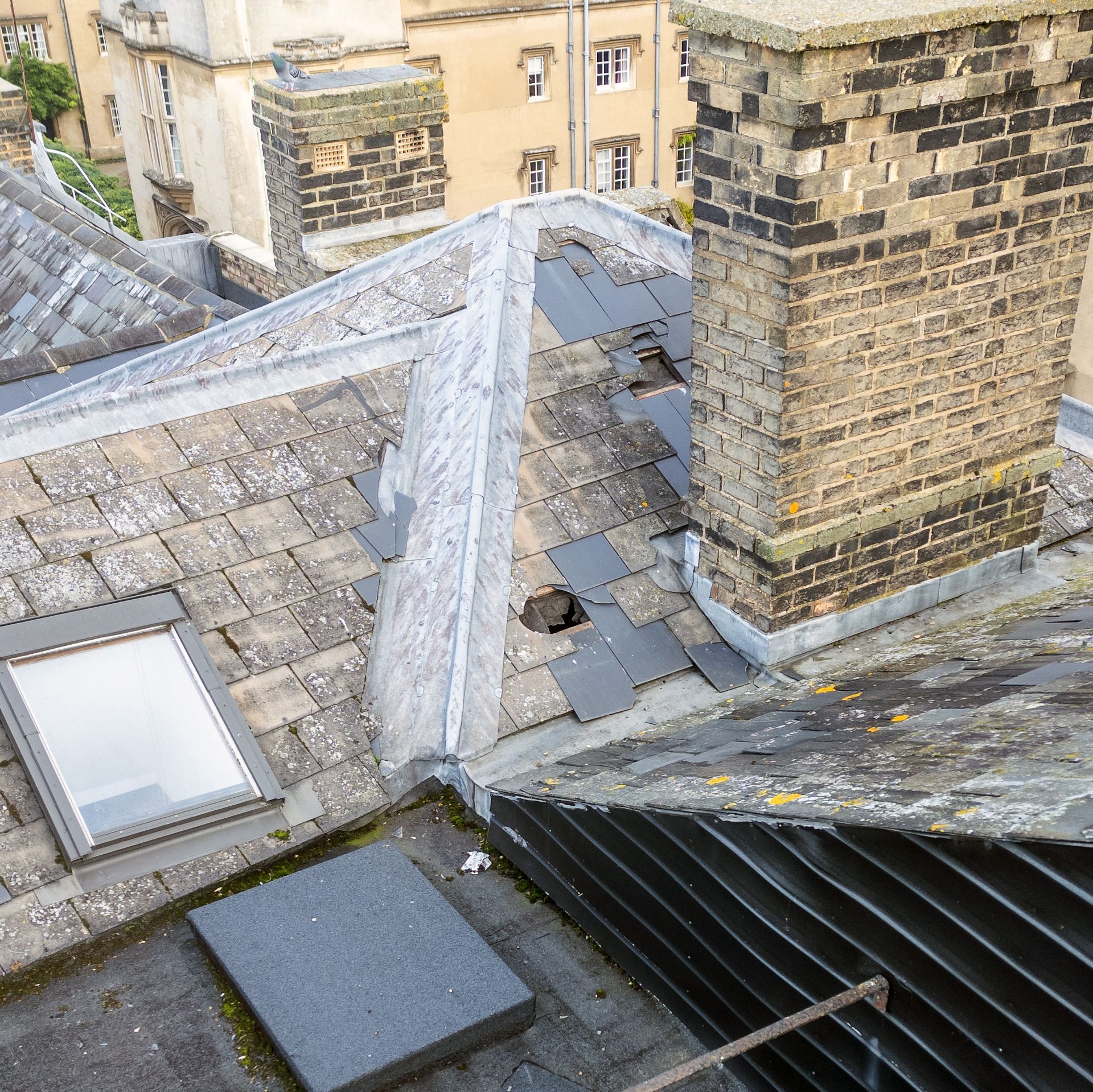
- Thermal Imaging: The Mavic 4 Enterprise is likely to continue offering thermal imaging capabilities, a key feature for inspections of roofing, industrial sites, and solar panels. However, it is unlikely that the thermal camera will receive a significant resolution upgrade, such as the leap seen with the recent DJI H30T camera. Instead, the focus may remain on delivering reliable thermal performance in a compact and efficient package. This would still provide substantial value for applications where thermal imaging is critical, ensuring that the drone remains a versatile tool for detecting heat loss, identifying structural issues, and conducting safety inspections.
These enhancements would directly complement services like our
drone thermal imaging and
dilapidation surveys, helping us provide more value to commercial and B2B clients.
Speculated Release Date and Pricing
The Mavic 4 Pro's FCC filing hints that an official announcement is imminent, with some predicting a launch early next year. While pricing details remain speculative, the Pro model is expected to cater to professionals and enthusiasts alike, while the Enterprise range will likely target industry applications with additional features.