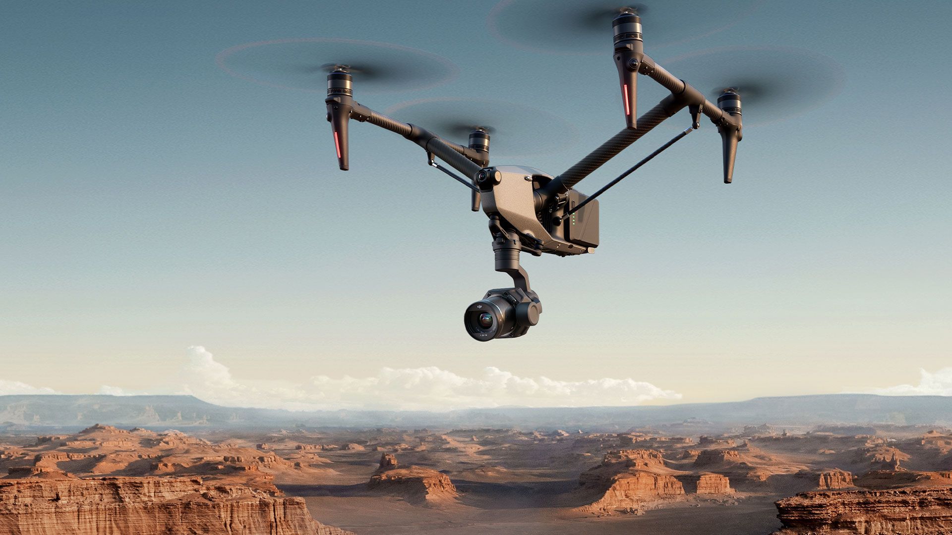
Drone Media and Data Acquisition

Cambridge's Drone Experts
Skytech Cambridge provides expert drone solutions across multiple sectors. Based in Cambridge and serving clients worldwide, we’re dedicated to innovation, accuracy, and a personalised approach for every project.
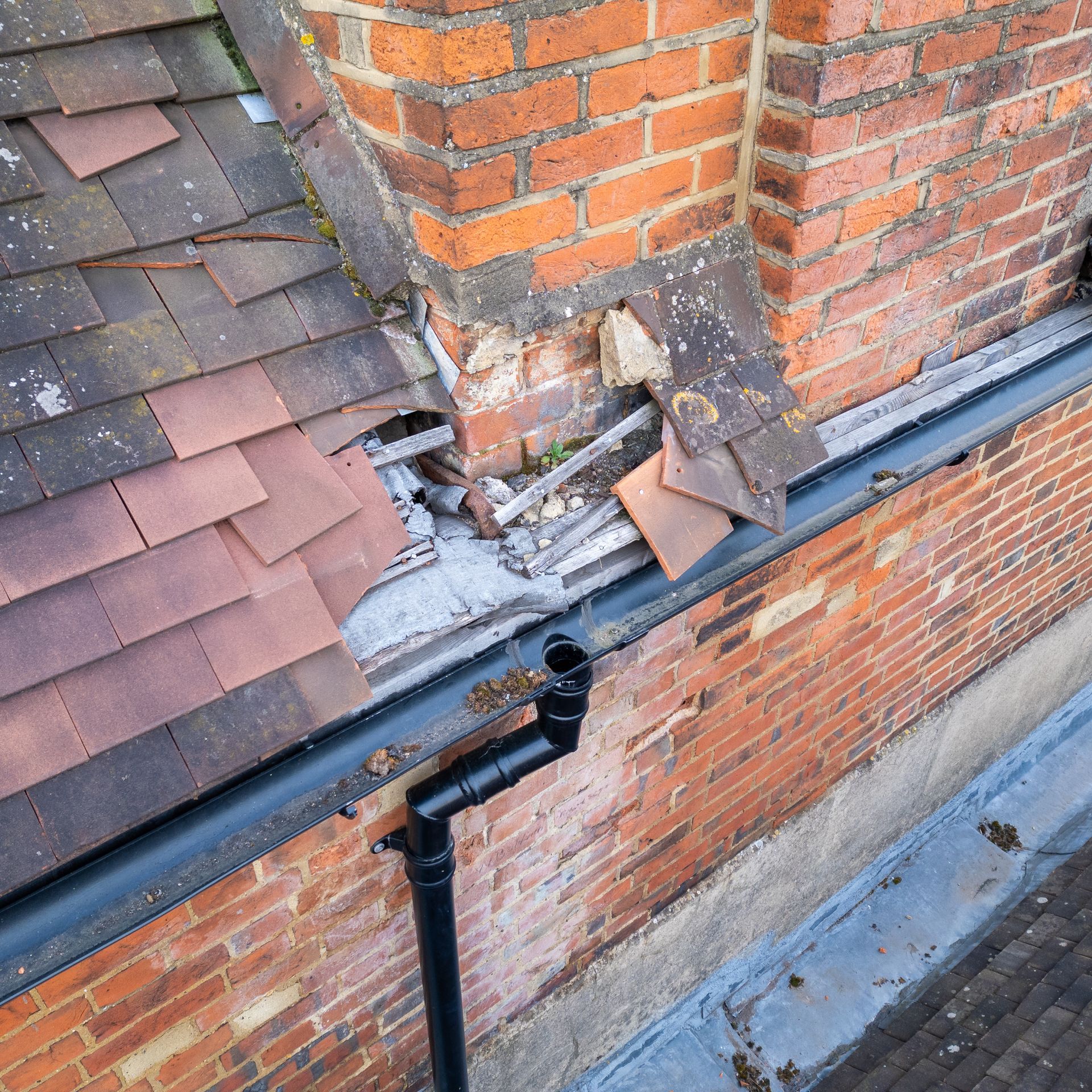
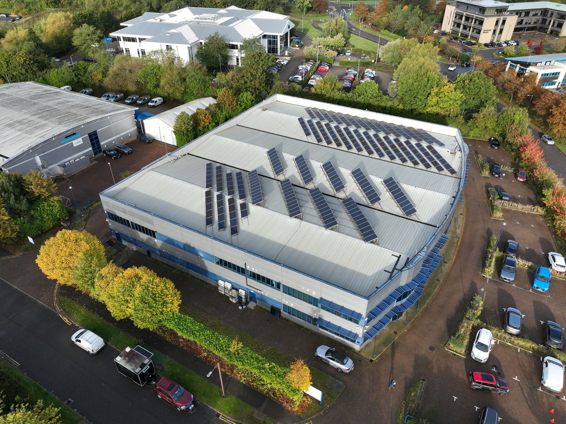
Drone Roof Inspection and Survey
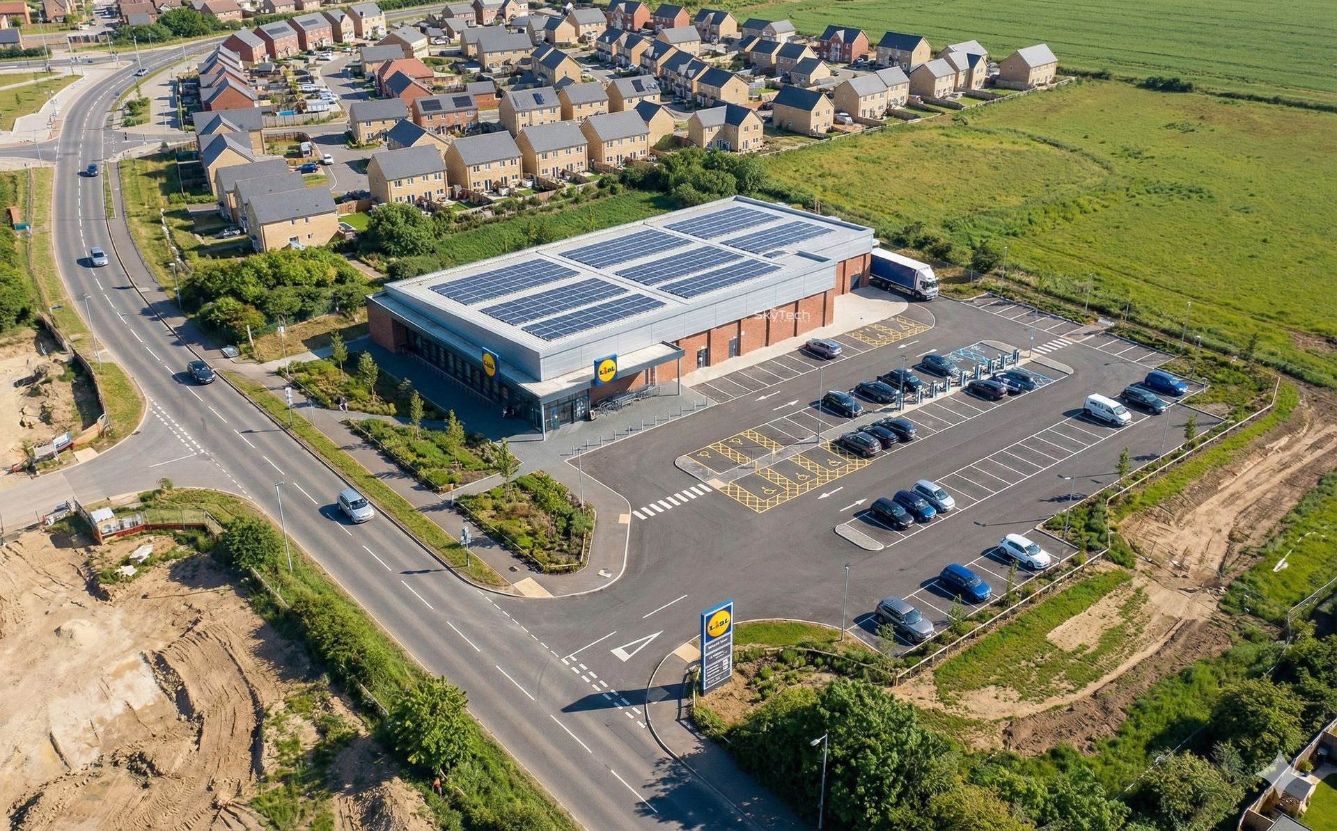
Nationwide drone roof surveys for commercial buildings. High-resolution photos/video, optional thermal and mapped outputs.

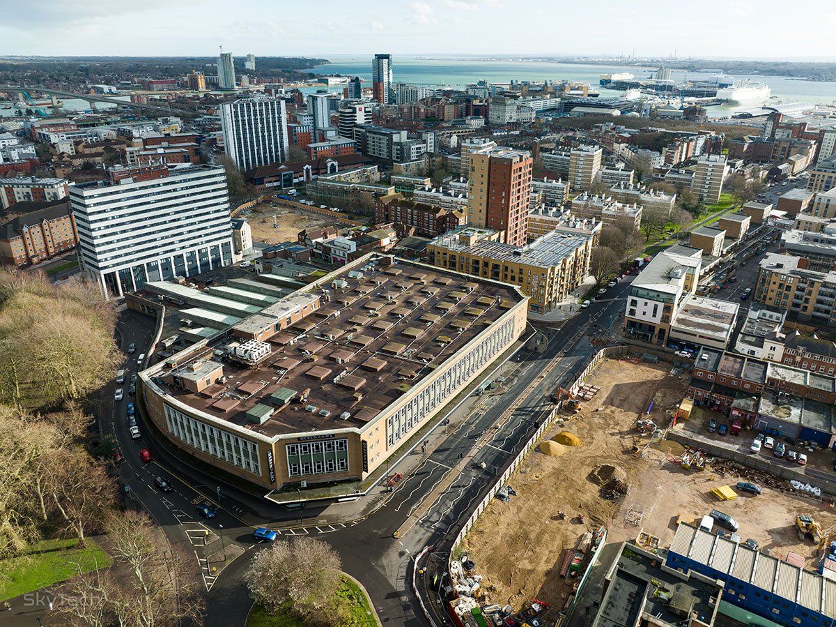
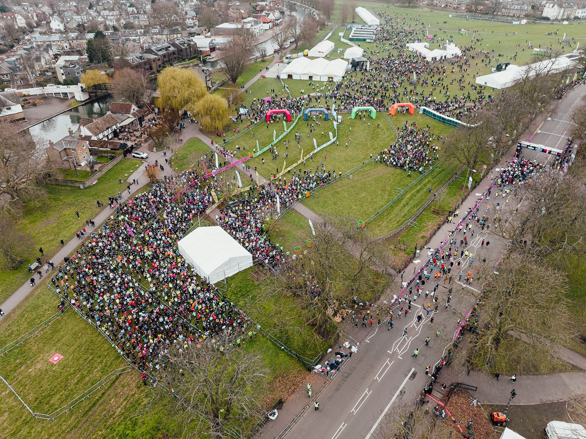
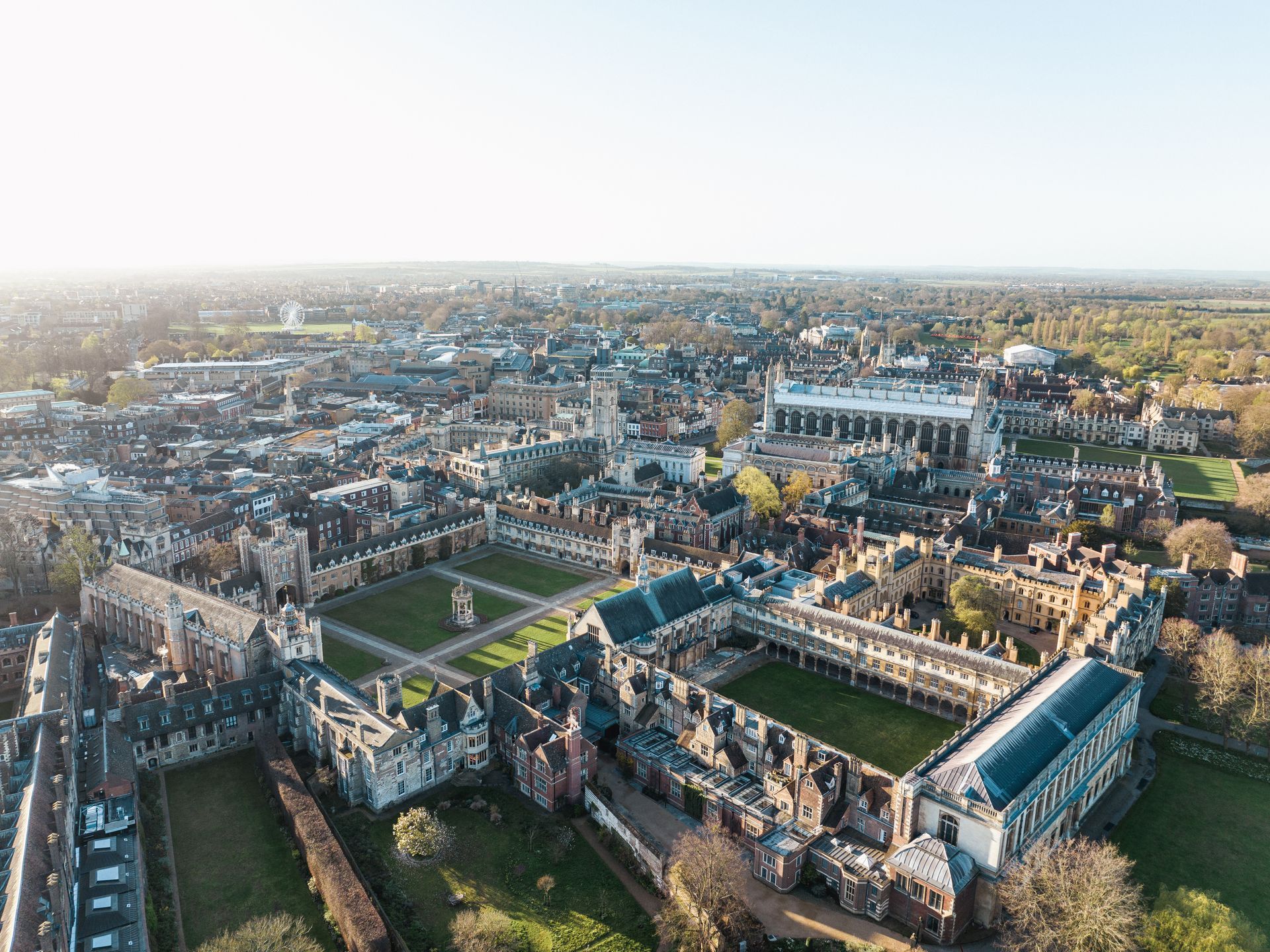
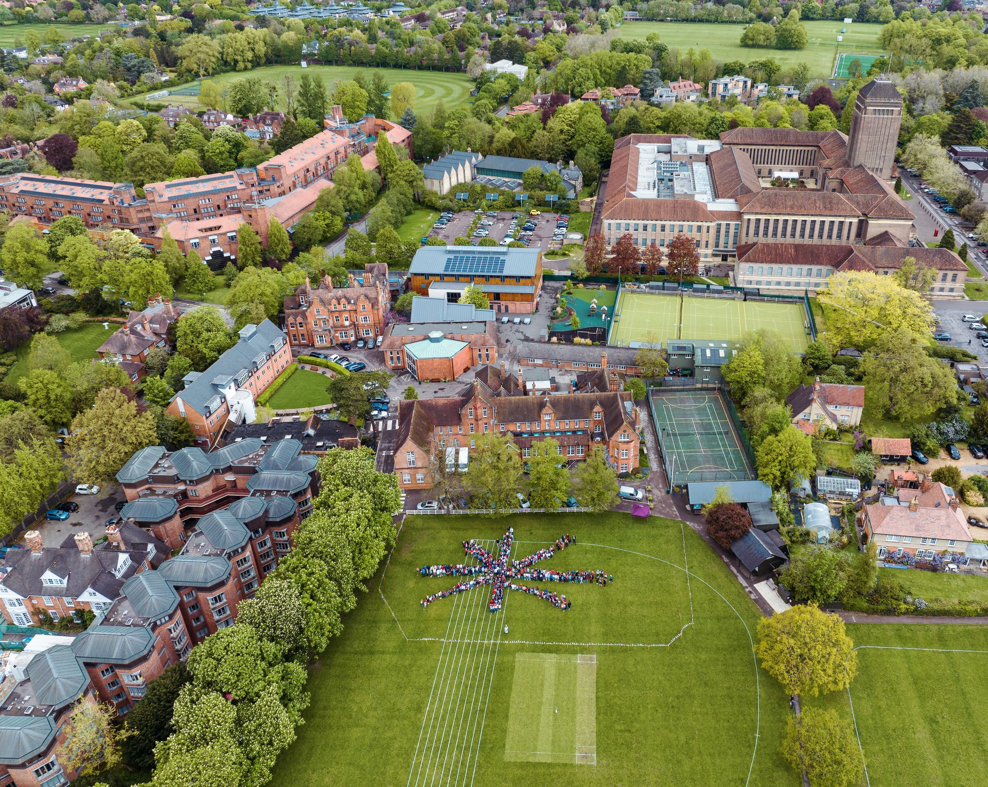
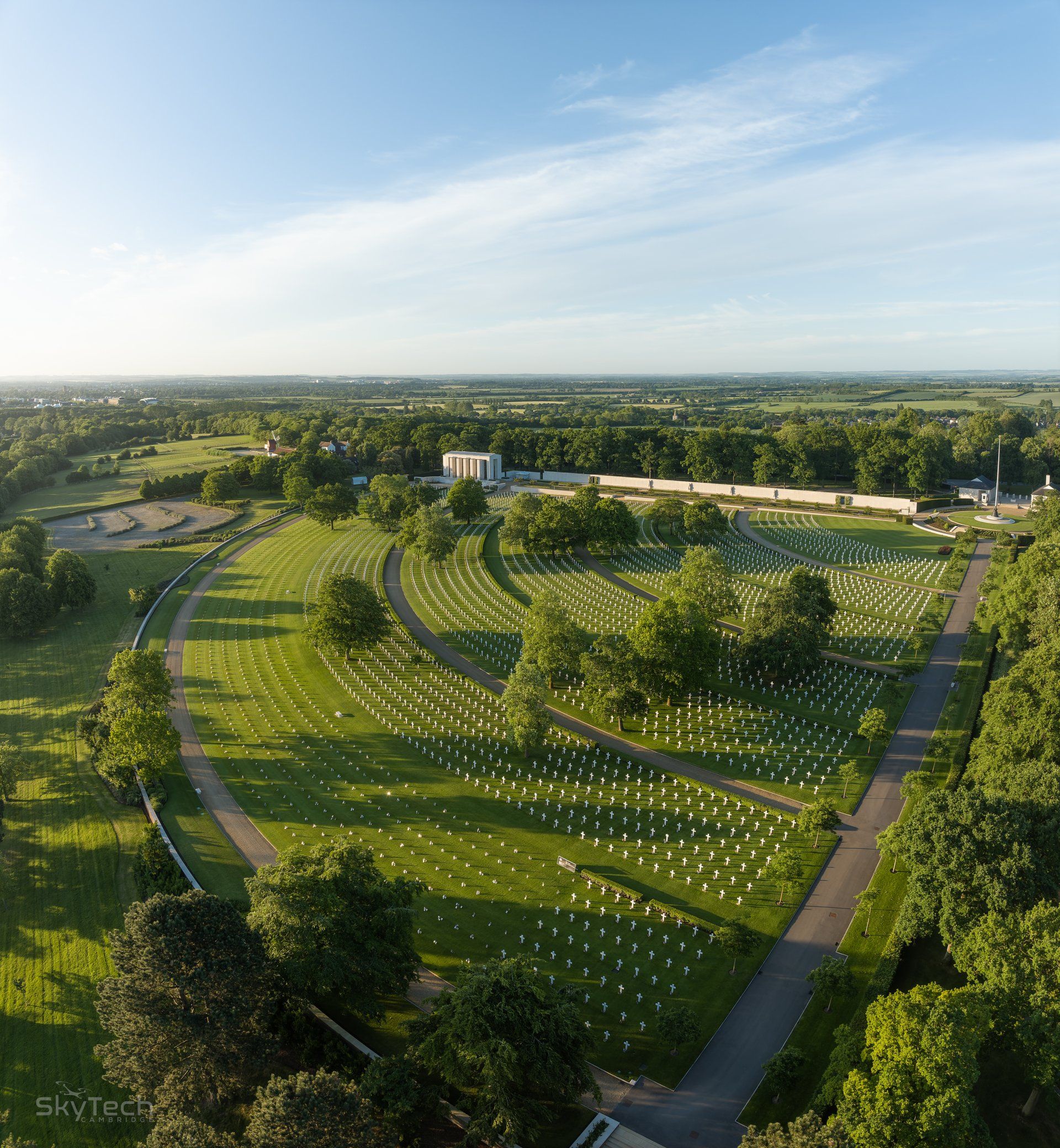
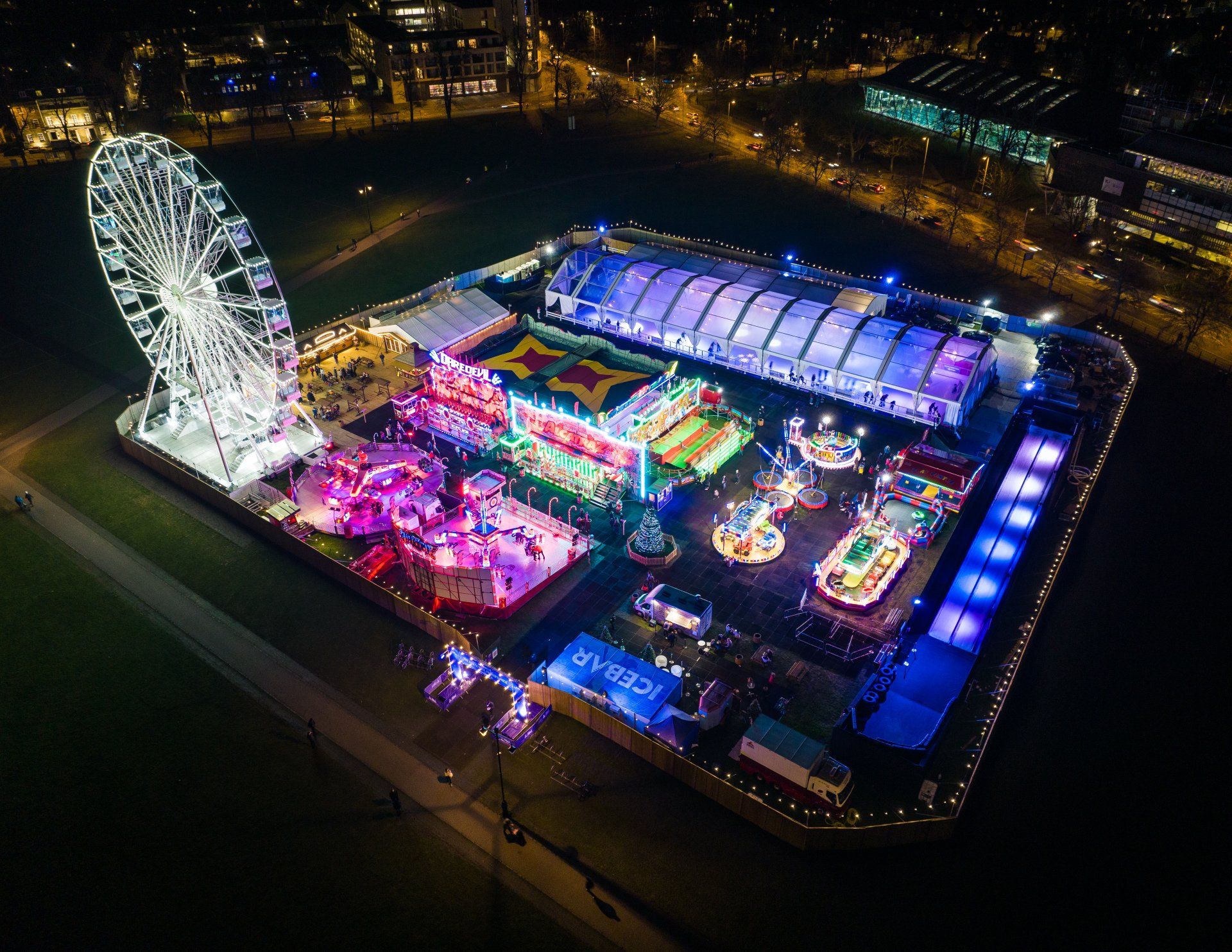
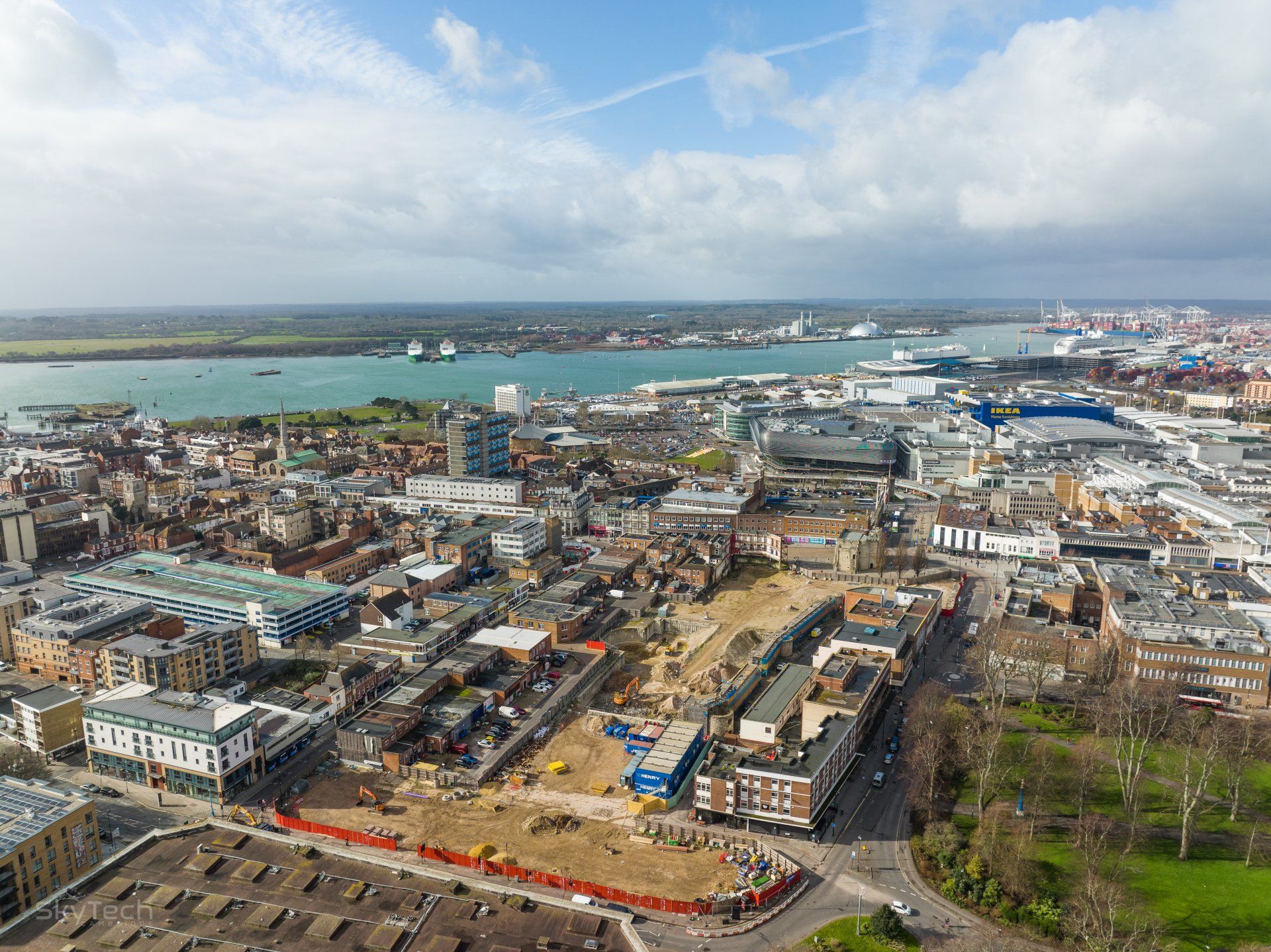
Drone Photography and Film
High-quality aerial filming and photography, delivering dynamic views for marketing, real estate, events, and media productions.
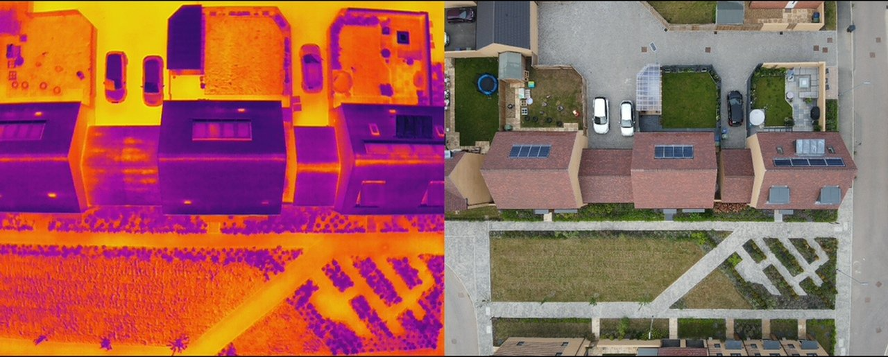
Drone Thermal Imaging
Advanced thermal imaging to detect energy inefficiencies, identify structural issues, and monitor environmental conditions in real estate and industrial facilities.


Our latest news
Our latest project partners


"SkyTech Cambridge is a fantastic company to work with. They are professional in their work, footage is excellent, communication is superb. We commissioned them to fly within the exclusion zone of an airport, all the relevant paperwork and air traffic control communications were undertaken and performed quickly and efficiently, and the drone footage was received well ahead of schedule. I highly recommend SkyTech Cambridge."
A LITTLE BIT ABOUT WHAT WE DO
SkyTech Cambridge is a specialist Drone Survey and Inspection, Drone Thermal Imaging, Drone Photography and Drone Film company based in Cambridge. We are able to cover projects right across the UK.
Drone Photography and Cinematography
Delivering resolutions up to 8K ProRes RAW and CinemaDNG with frame rates up to 120fps, our drones can capture stunningly beautiful imagery which is colour graded, edited and then delivered in any format.
In-house Editing, Colour Grading and Production
All videos and photos captured from our drones or ground cameras can be processed in house and delivered in any format.
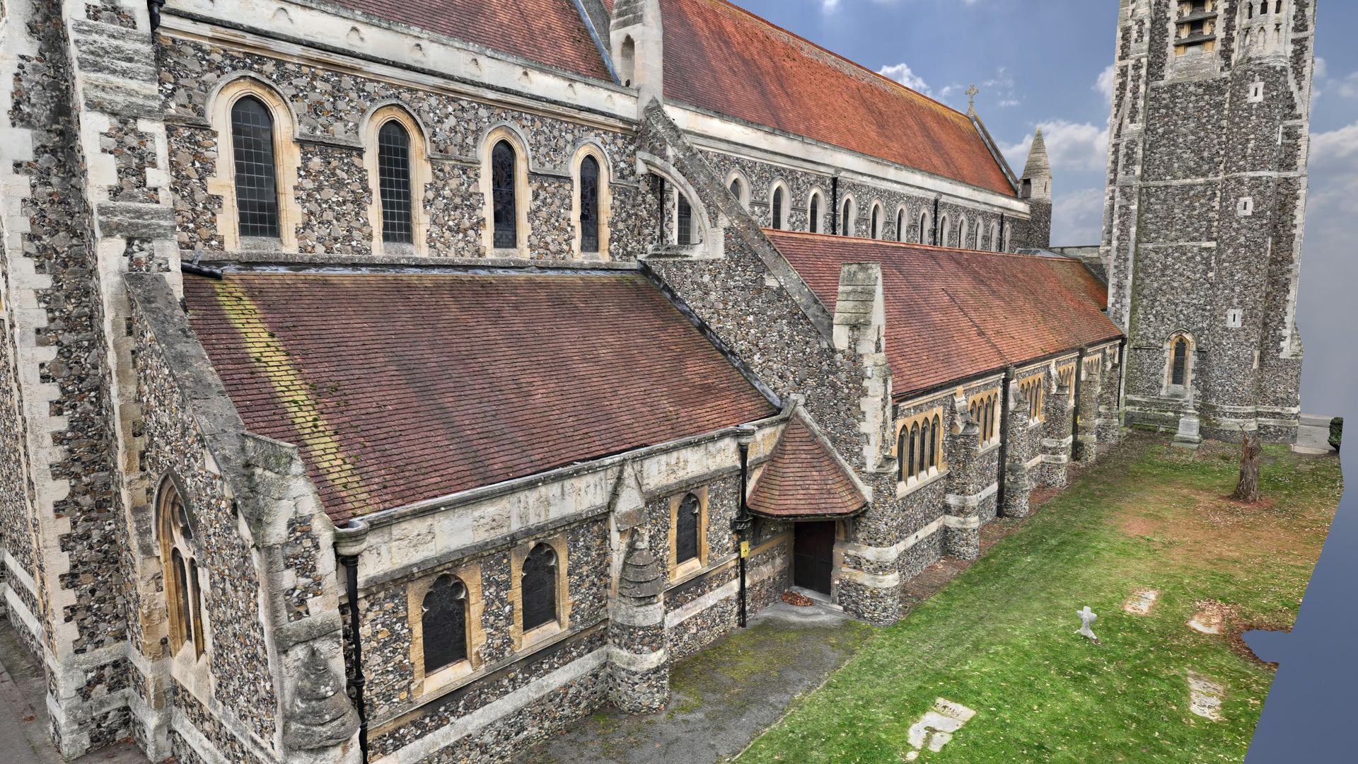
Drone Inspection and Survey
The ability to access difficult and potentially unsafe areas via a drone means we can provide survey accurate imagery for any project while minimizing risk and reducing costs. Drone roof surveys and inspections, topographic land surveys, high accuracy drone data capture for use in BIM, GIS, AutoCAD and many other business systems.
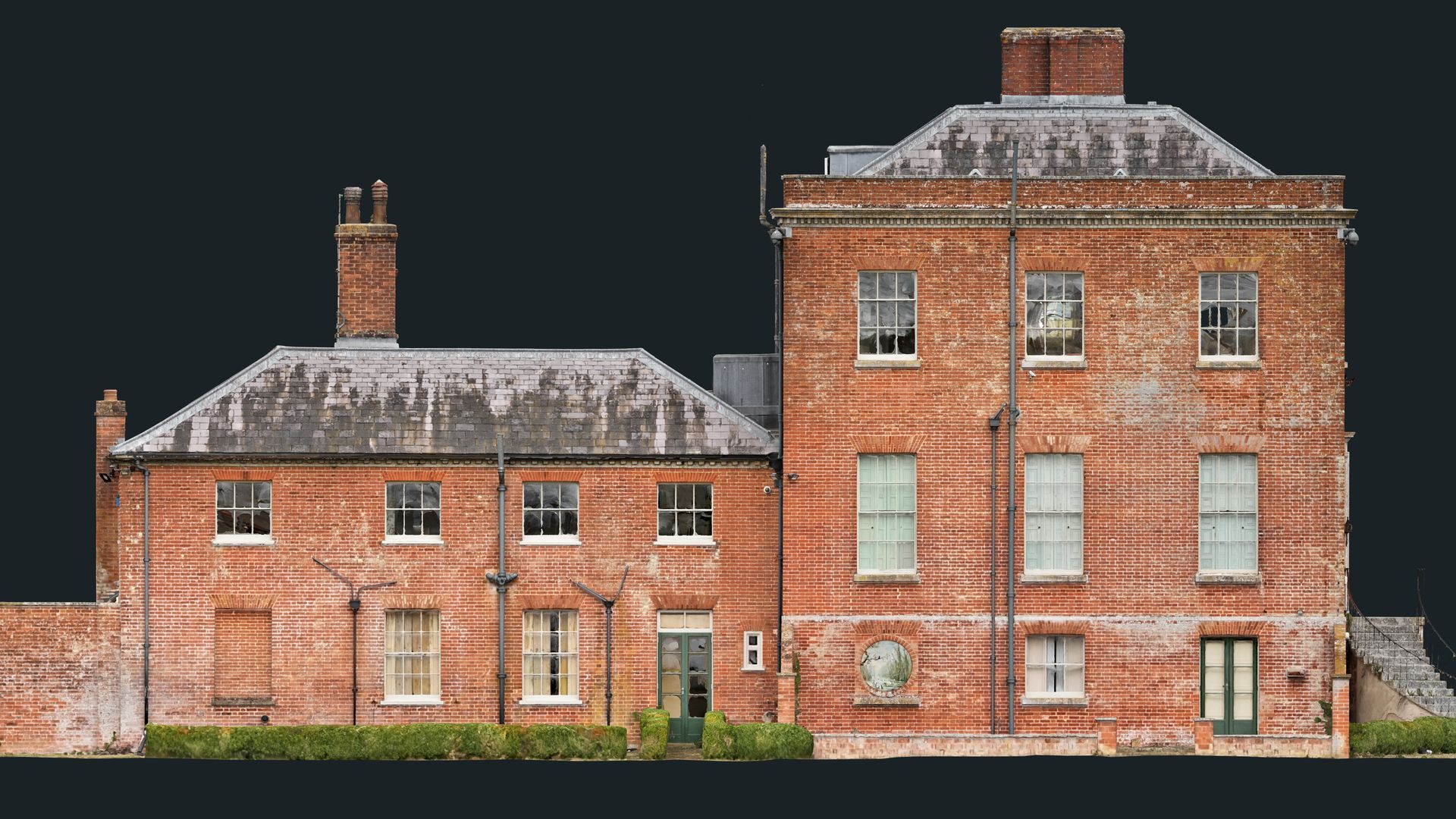
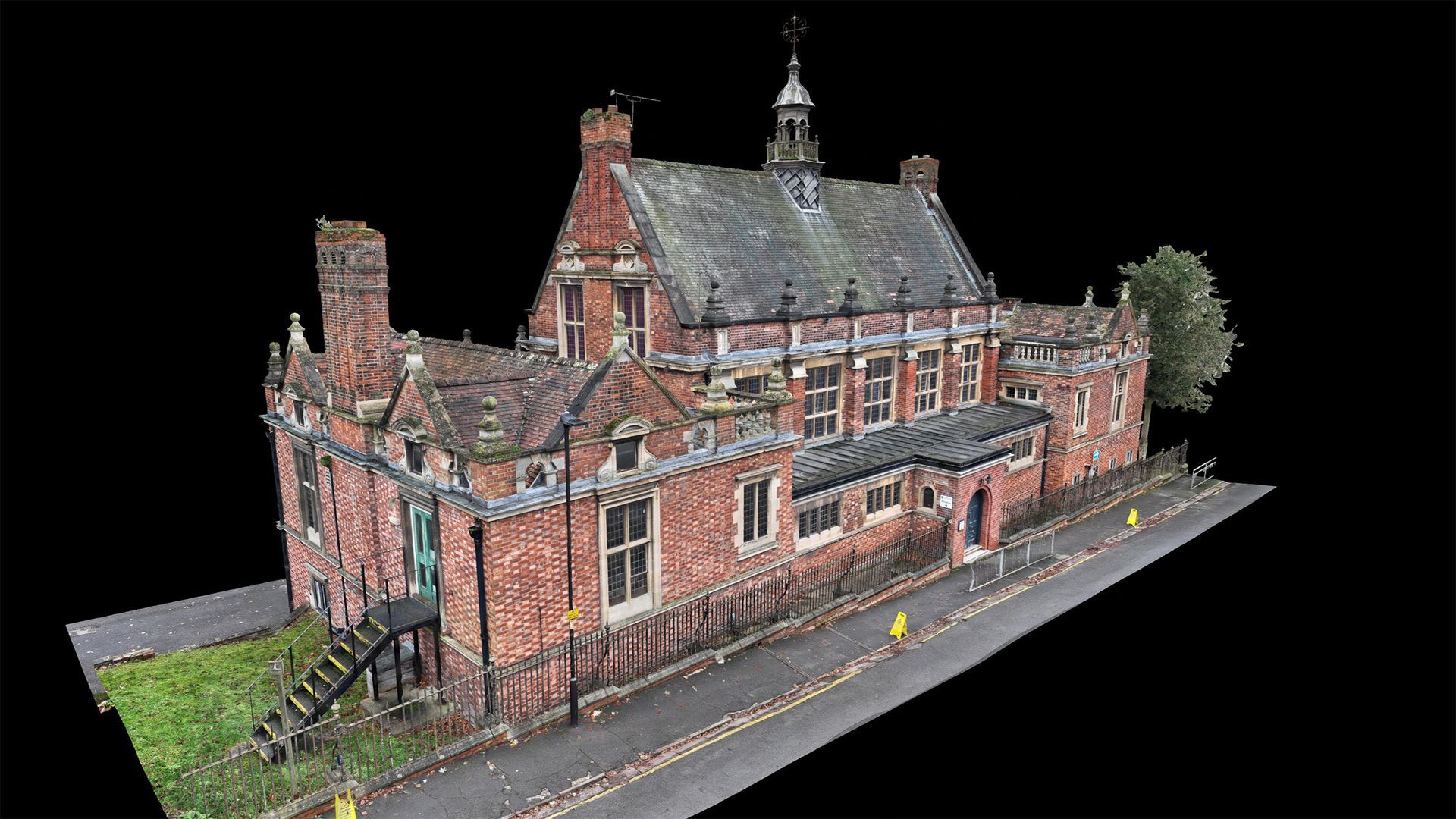
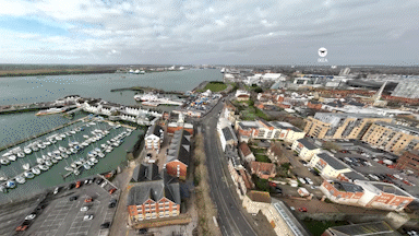
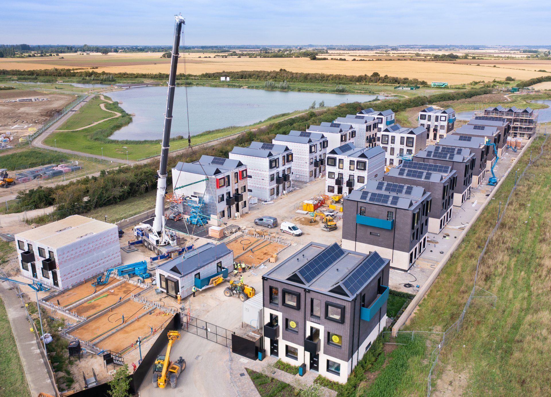
Drone 2D/3D Scans, Data Capture, Drone Mapping and 3D Modelling
Using the latest photogrammetry techniques backed up by RTK positioning data allows us to produce incredibly accurate and detailed 2D and 3D maps of individual buildings right through to entire construction sites or agricultural land.
Drone Thermal Imaging
We operate an industry leading thermal imaging drone alongside handheld thermal imaging equipment producing high resolution radiometric images and video.
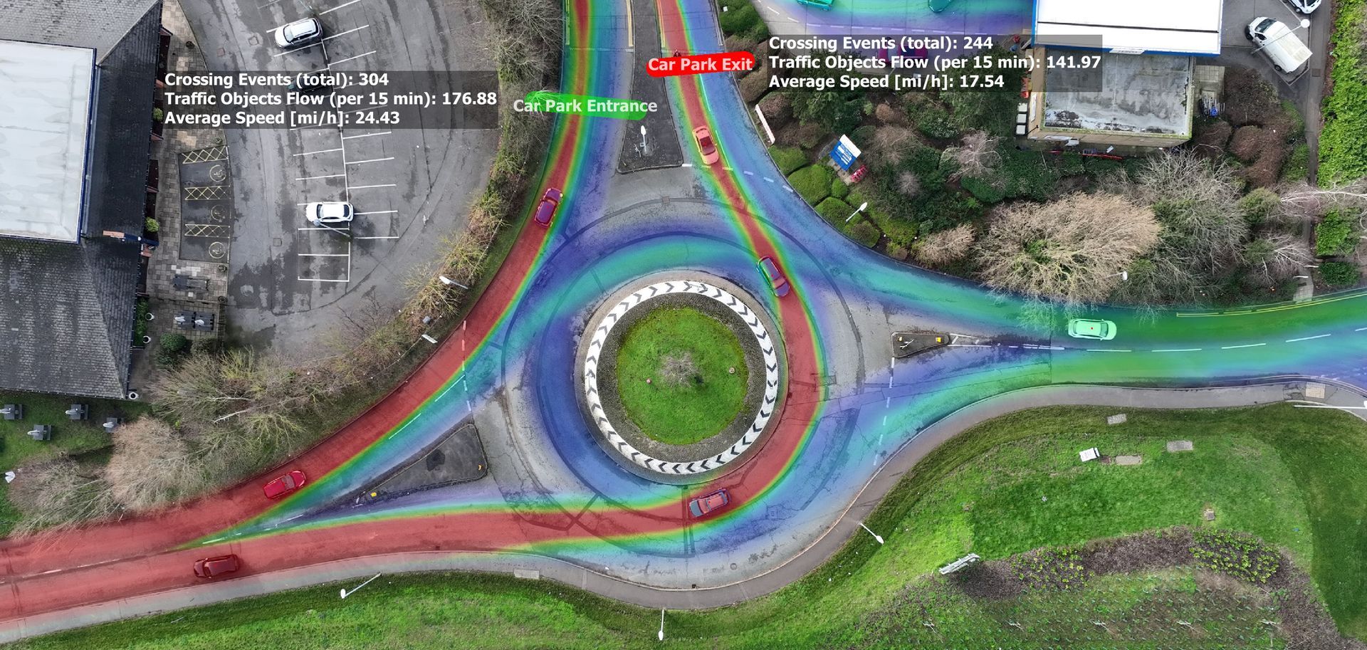
Drone Traffic Surveys
With the advancements in drone technology and A.I, we offer fast, reliable and accurate drone based traffic surveys.
360° Panoramas and Time Lapse
Our drones can create stunning high resolution and fully interactive 360° panoramas. We can also produce drone based time lapse media as well as conventional ground based time lapses.
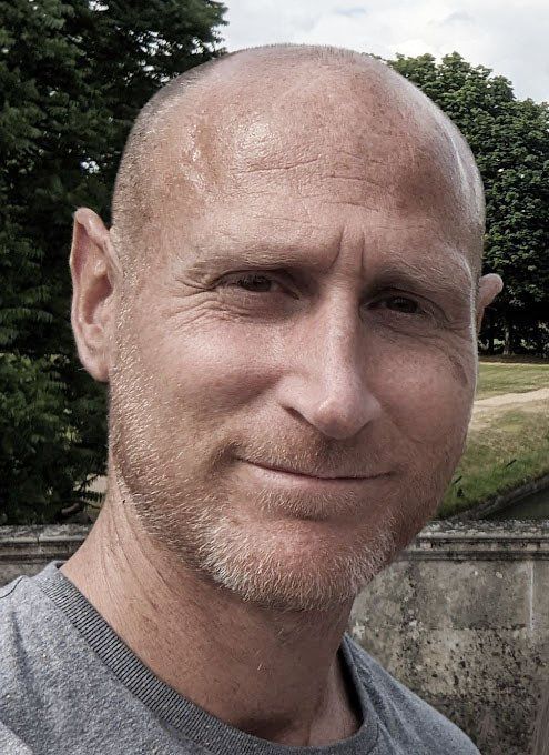
MARC MANN
Owner and Lead Drone Pilot
I believe that the best work is created when a strong personal collaboration can be achieved. That is why I strive to ensure that I approach each and every project with a focus on working closely with my clients throughout.
The small family company that I operate, along with my passion for photography and technology, ensures that I can deliver fast, professional and cost effective results without compromising on safety.
I would love to discuss how I can support you with your next project. Feel free to get in touch for an initial informal discussion about your requirements.
Proud sponsors of Northstowe Jets Basketball
The first adults basketball club to be formed in the developing new town of Northstowe. Welcoming people of all ages and abilities, the club plays indoors at Northstowe Secondary School. Check out the website to find out more about when they train and the latest news.
Drone Photography
The numbers you need to know
10+
Years combined experience
500+
Hours of incident free Drone operations
1500+
Drone flight miles logged
240TB
Data archived for previous clients
Our accreditations and qualifications